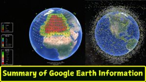
Summary of Google Earth Information
Google Earth is a versatile geospatial tool developed by Google, offering users an immersive experience to explore the world through detailed satellite imagery, 3D maps, and street views. It has evolved into an essential platform for education, research, urban planning, and environmental conservation. Key features include:

- Basic Navigation – Zoom, pan, and rotate views with high precision.
- 3D Views – Explore cities, landscapes, and terrain in three dimensions.
- Historical Imagery – Analyze changes over time, valuable for environmental studies.
- Voyager and Guided Tours – Pre-designed stories and educational tours.
Applications range from teaching and research to virtual tourism, urban development, and storytelling. Google Earth Pro offers advanced tools for professionals, such as data import/export and precise measurement tools.
Technological advancements like AI, machine learning, and partnerships with organizations (NASA, NOAA) enhance its capabilities. The platform is accessible on mobile, web, and desktop, with ongoing innovations in AR/VR integration.
While powerful, Google Earth faces challenges like privacy concerns, limited coverage in some regions, and reliance on internet connectivity. Its impact on global understanding and accessibility makes it a critical tool for exploring and preserving our world.
